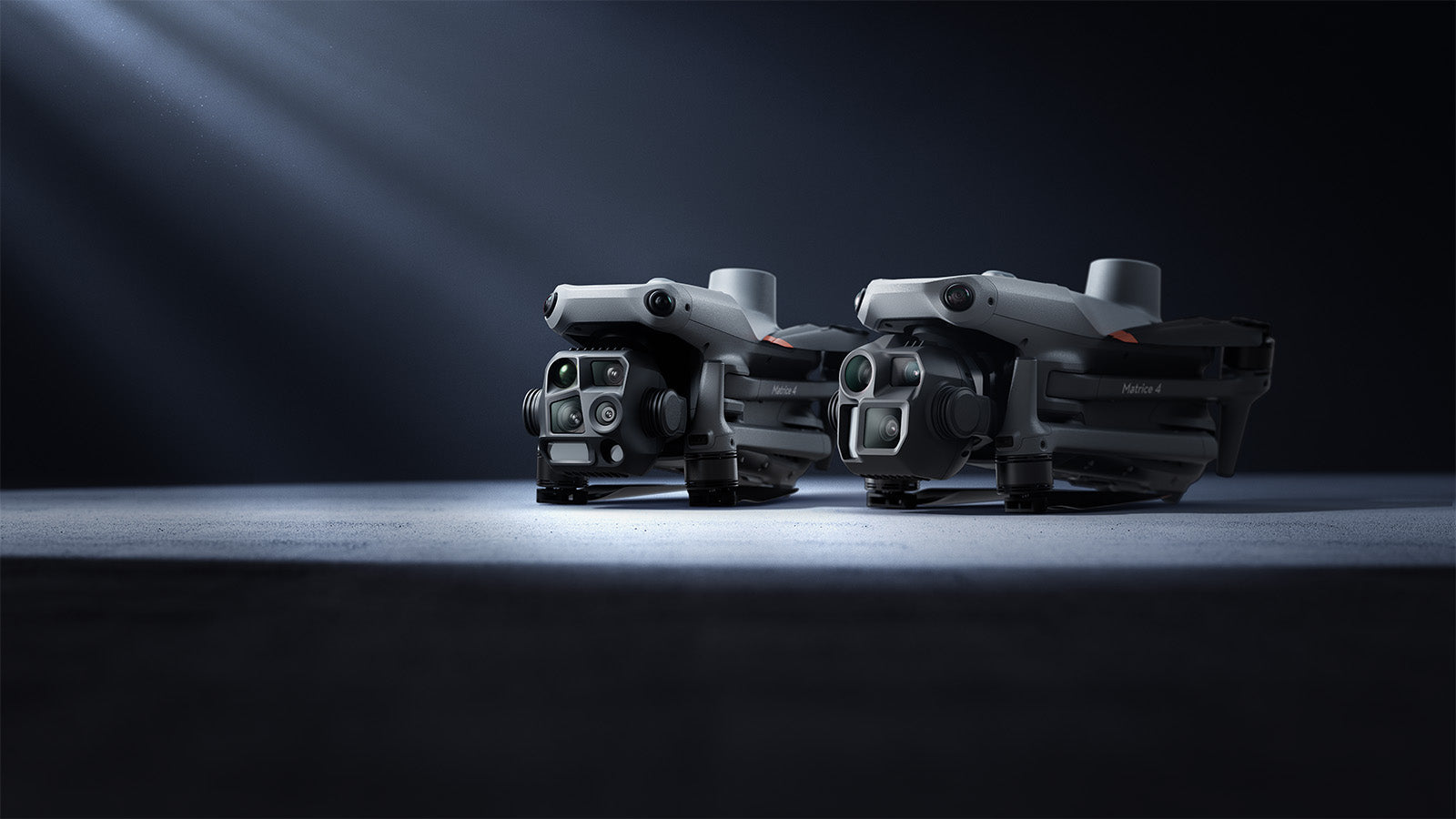
The DJI Matrice 4 series is the latest intelligent drone platform from DJI Enterprise, designed for professional industrial, public safety, and surveying tasks. The Matrice 4E and Matrice 4T models support fast data collection, precise measurements, and efficient decision-making with advanced artificial intelligence features, multi-camera systems, and laser rangefinders. Its compact design, up to 49 minutes of flight time, and intelligent automated functions make it an ideal choice for infrastructure inspections, mapping, public safety tasks, search and rescue, and industrial supervision.
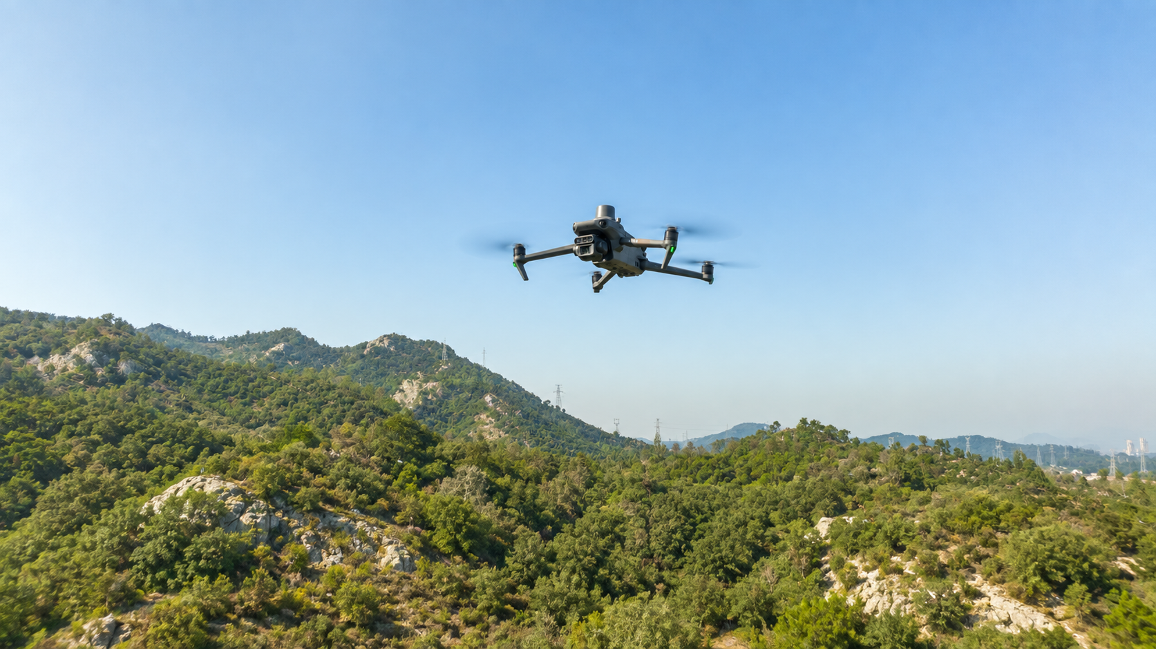
Request a Quote >>The DJI Matrice 30 is one of the most versatile professional drone platforms in the DJI Enterprise portfolio, developed for public safety, industrial, energy, and infrastructure inspection tasks. Despite its compact design, it features an advanced camera system, high-performance zoom function, laser rangefinder, and intelligent flight capabilities. Thanks to its IP55 protection and reliable operation, the Matrice 30 provides effective support for inspection, supervision, search, and incident response operations even in unfavorable weather conditions.
Request a Quote >>The DJI Matrice 400 represents a new generation of high-performance enterprise drone systems designed for complex industrial, public safety, energy and infrastructure monitoring tasks. Its extended flight time, advanced obstacle sensing and support for multiple payloads assist professional operations. Its open architecture and broad payload compatibility enable the integration of cameras, LiDAR systems, sensors and specialised mission modules for demanding data collection and monitoring tasks.
Request a Quote >>The DJI Mavic 3 Multispectral uses RGB and multispectral sensors to support environmental data collection and geospatial analysis. High-precision positioning and automated flight functions enable repeatable surveys for research and nature conservation projects.
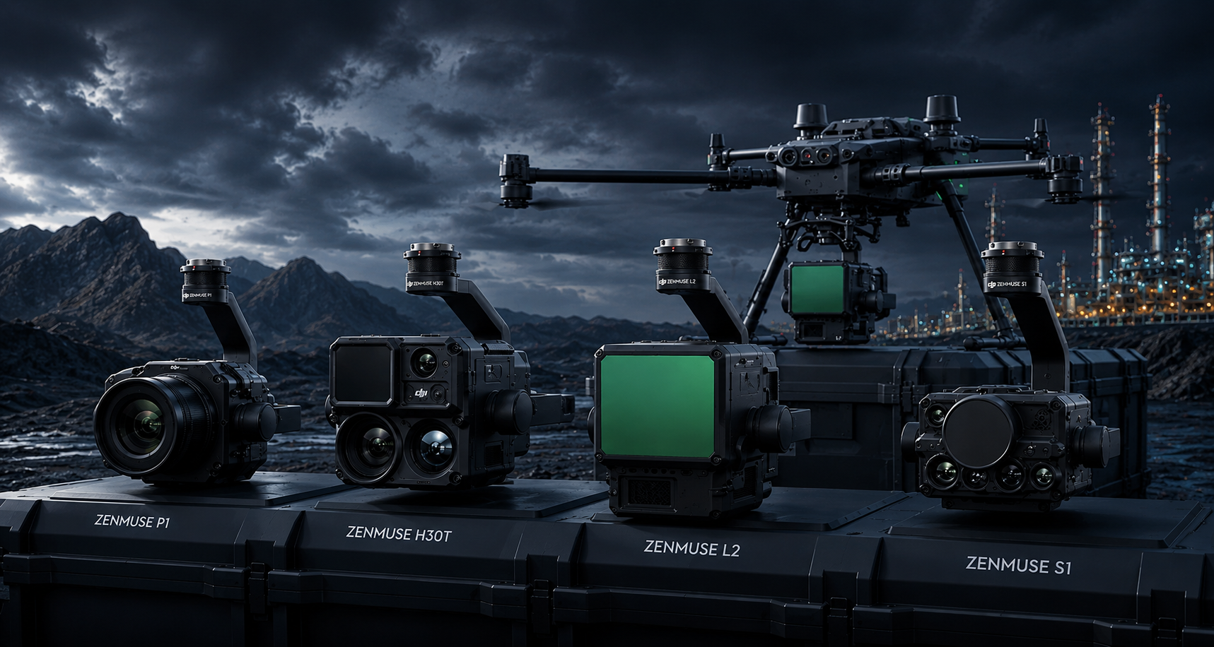
Request a Quote >>DJI Zenmuse cameras and sensors support professional aerial data collection when used with compatible drone platforms. Selecting the right camera and payload supports industrial inspection, surveying and monitoring. Duplitec helps develop the appropriate solution through system design, integration, training and technical support.
Request a Quote >>